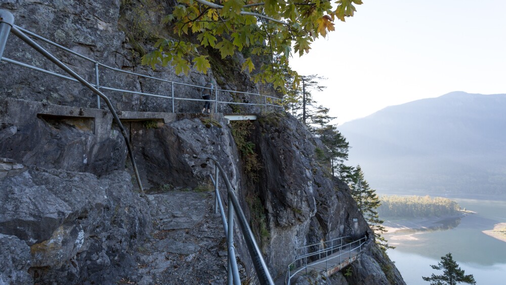
About 30 miles east of Vancouver in the Columbia River Gorge, you’ll encounter a natural landmark that towers above the surrounding forest. As you stare up at Beacon Rock, you’ll probably have questions. How did this stone behemoth come to be? Who would be brave enough to build a trail on it? Or even, will you marry me?
Well, we can answer all those questions (she did say yes).
Quick facts
- Starting point: Beacon Rock State Park, 34841 SR 14, Skamania
- Difficulty: Moderate
- Distance: 2 miles
- Route type: Out-and-back
- Elevation gain: 600 ft
- Trail surface: Hardpack dirt/gravel/boardwalk
- Wheelchair accessible: No
- Open: 8 a.m. to dusk, year round
- Dog friendly: Yes, leashed
Brief overview
Approx. 57,000 years ago, Beacon Rock was the core of a volcano. After it went extinct, the Missoula floods eroded its exterior, revealing the basalt column that we recognize today. Indigenous peoples long referred to it as “Che-Che-op-tin,” which translates to “the navel of the world.” On their way to the Pacific Ocean, Lewis and Clark first observed tides here — a promising sign. Conservationist Henry J. Biddle succeeded in constructing a trail to the rock’s peak in 1918.
Why you should try it
You’ll get nearly 360° vistas of the Gorge from the lofty boardwalk, which will either thrill adrenaline seekers or petrify those who are afraid of heights (don’t worry, there are handrails). Beacon Rock’s northwest corner is open to rock climbing year round, while its other faces are closed to protect sensitive wildlife, like nesting peregrine falcons.
Pro tips
If you don’t already have an annual Discover Pass ($35), you will need to purchase a single-day pass ($11.50) at the self-serve kiosk. To photograph Beacon Rock from a distance in all its glory, there is a viewpoint near Hamilton Mountain Trailhead.
Let us know
Did you try this hike? Do you know of one we should check out? Send us your thoughts + recommendations.


